Walks along the canals: five itineraries along the water in Île-de-France
Published on
The Île-de-France is crossed by hundreds of kilometres of canals, often unknown, always soothing. Whether you're looking for a nature getaway away from the hustle and bustle of Paris or a city walk with a view of the water, there's something for everyone. To make it easier for you, we have selected five routes along the water.
On the program:
- Crouy-sur-Ourcq
- The Canal Saint-Martin
- The Bassin de la Villette
- The Saint-Denis Canal
- The Port de l'Arsenal
Have you ever walked these banks? Want to go further? Rivers, forests, banks of the Seine or regional natural parks? Île-de-France is full of natural spaces to explore on foot, by bike or by boat. Fill up on ideas with our selection of outdoor walks.
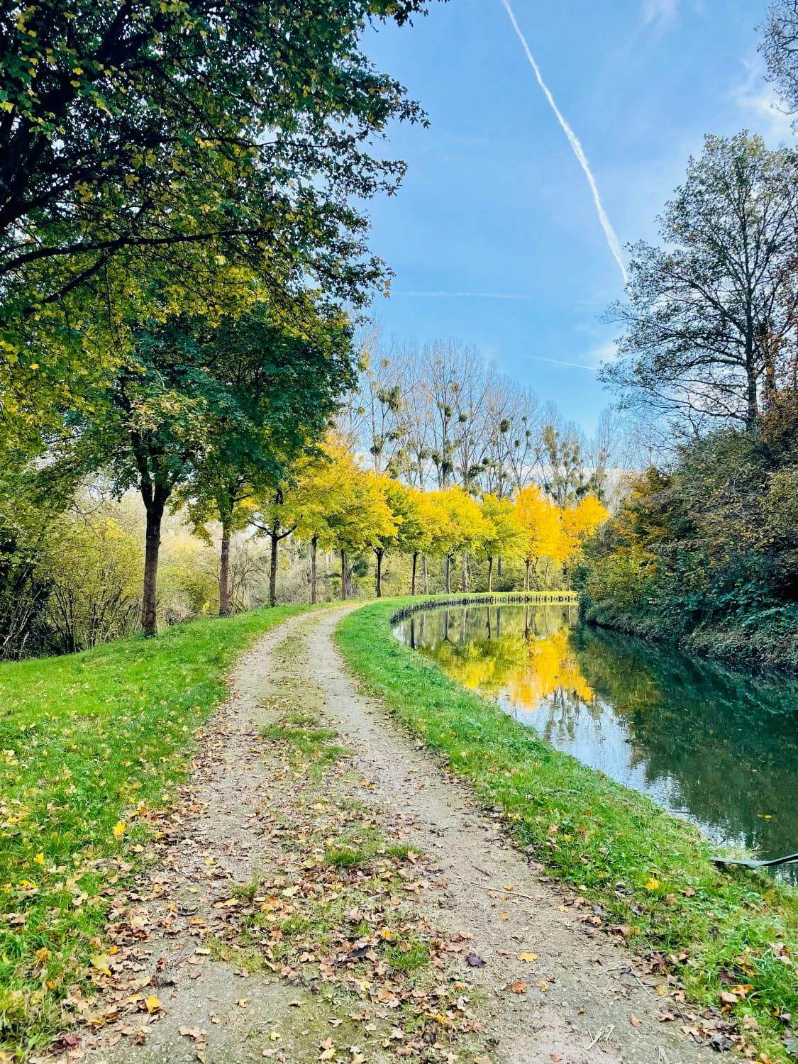
1. Crouy-sur-Ourcq, at the end of the canal, where Paris fades away
About fifty kilometres north-east of Paris, the village of Crouy-sur-Ourcq marks one of the ends of the Canal de l'Ourcq. Here, there are no more concrete banks or trendy terraces: the countryside takes over, the locks punctuate the rhythm of walkers and barges glide silently between the poplars.
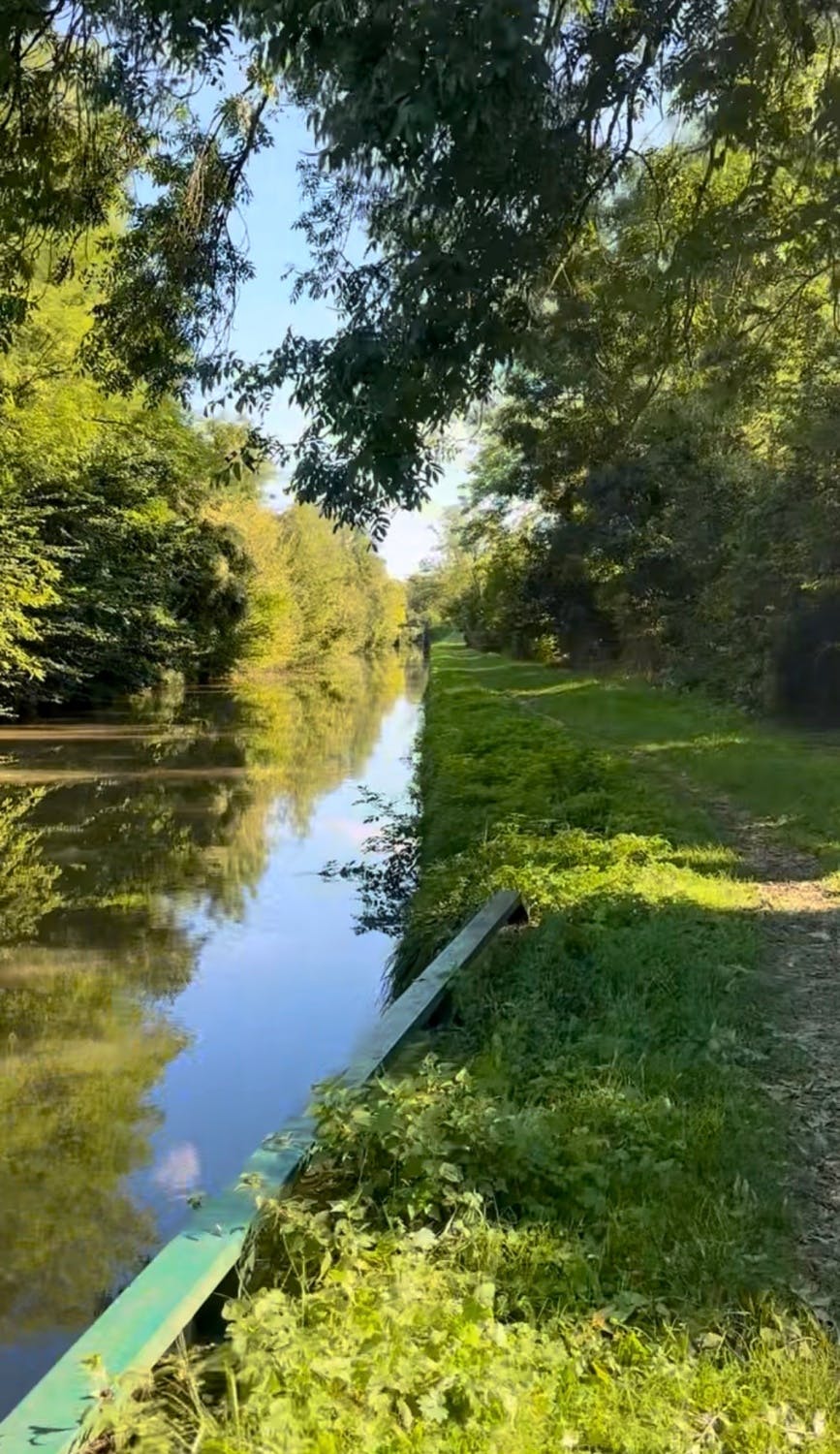
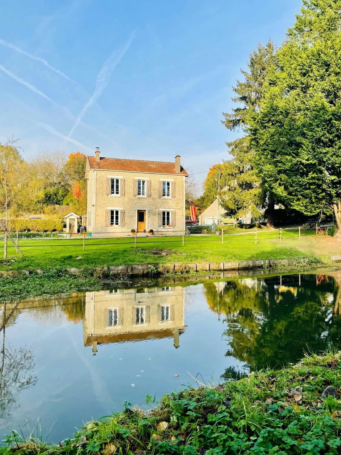
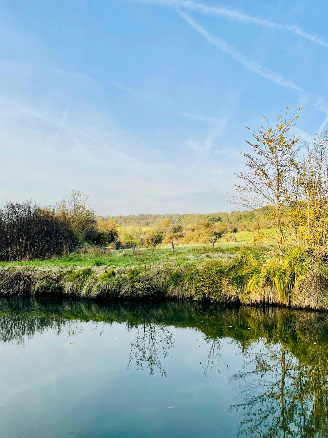
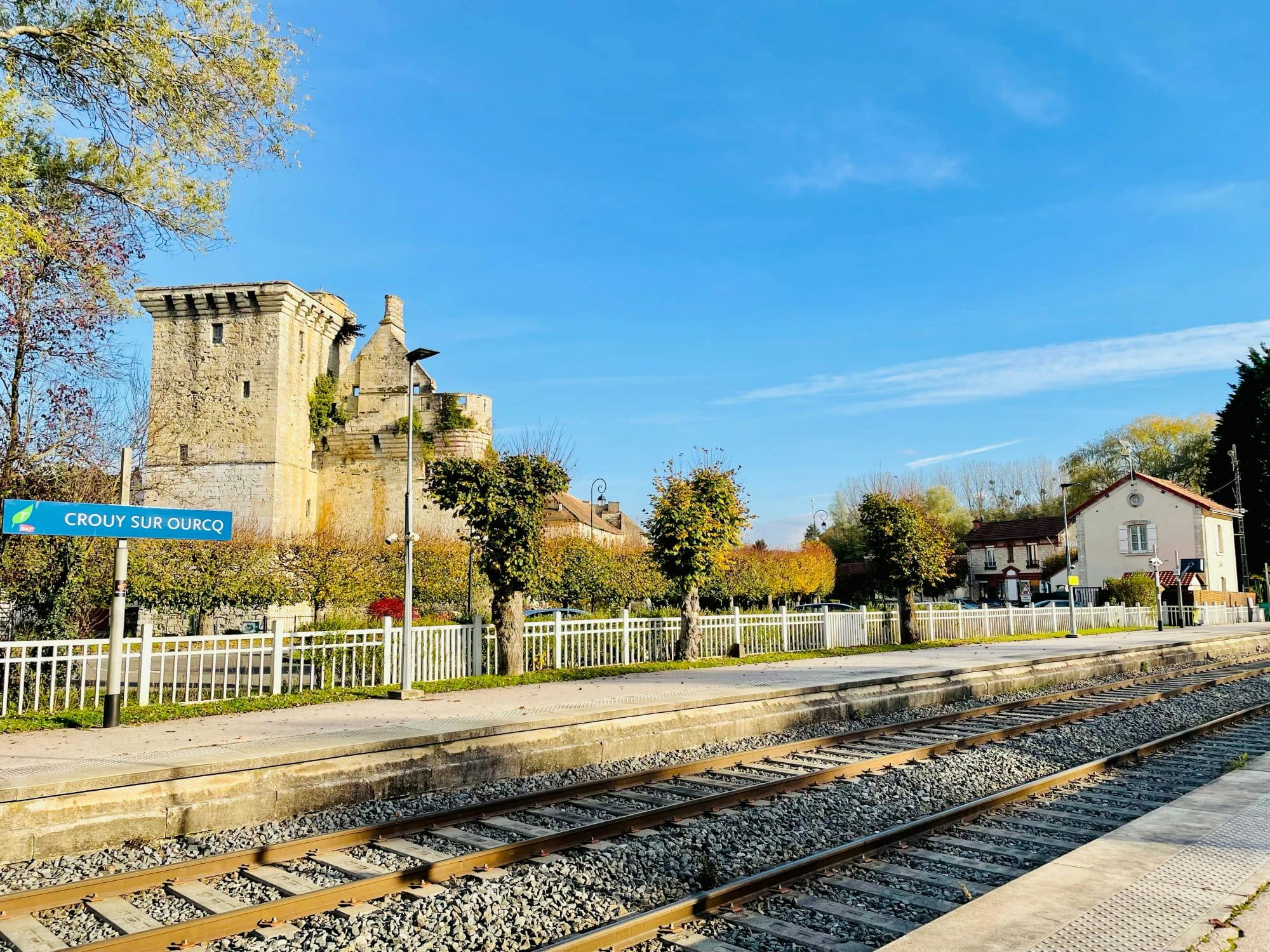
The towpath that runs along the canal from Crouy-sur-Ourcq is passable on foot or by bike, in summer and winter. As the kilometres go by, the locks follow one another, the grey herons lie in wait at the water's edge and the villages crossed such as Lizy-sur-Ourcq or Congis-sur-Térouanne, invite you to take a break.
The Canal de l'Ourcq is also navigable: electric boat or canoe rental companies allow you to go up it at your own pace.
As you leave the train station, in Crouy, take a look at the impressive keep of Houssoy, the remains of a fortified castle built around 1390!
How to get to Crouy-sur-Ourcq
- Line P from Gare de l'Est to Crouy-sur-Ourcq station, then join the canal on foot or by bike
2. The Canal Saint-Martin, the walk of bohemian Parisians
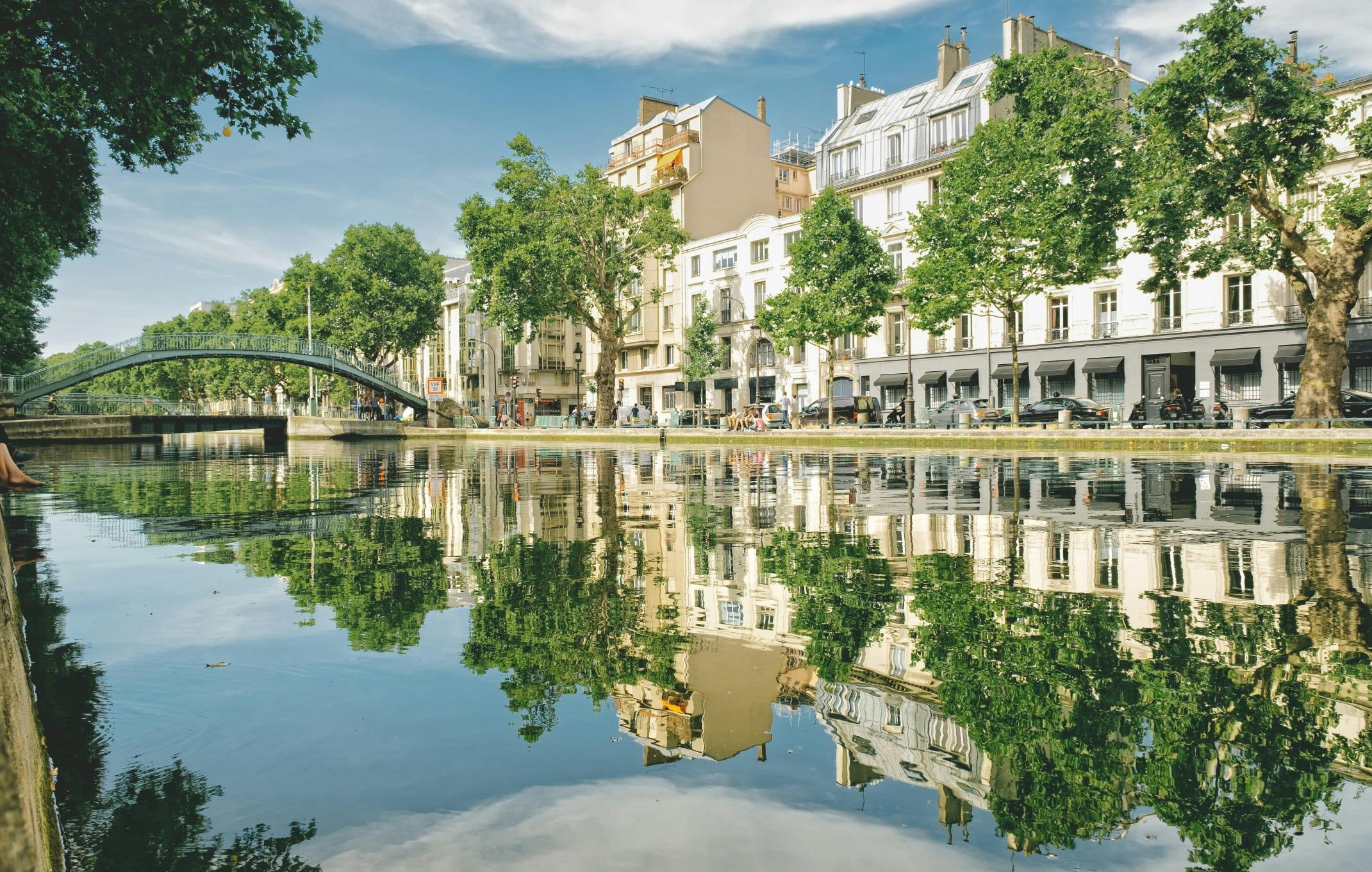
With its nine locks, cast-iron footbridges, hundred-year-old plane trees and colourful facades, the Canal Saint-Martin is undoubtedly one of the most photographed settings in Paris. 4.5 kilometres long, it connects the Bassin de la Villette to the Port de l'Arsenal, crossing the 10th and 11th arrondissements on the way.
Dug on the orders of Napoleon between 1802 and 1825 to supply Paris with water and goods, it was for a long time the canal of workers and bargemen. Since the 2000s, it has become the symbol of an alternative and creative Paris.
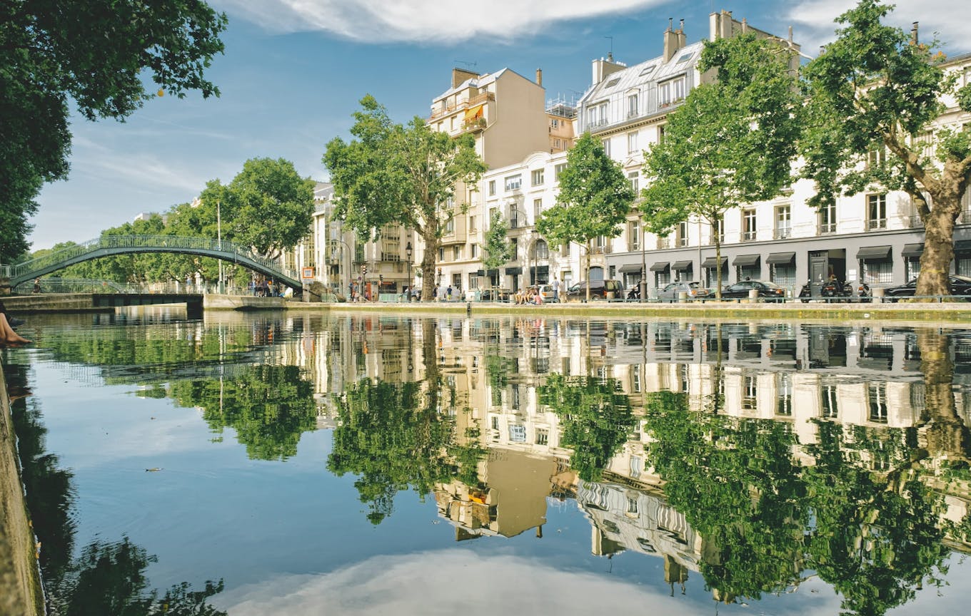
Walk along the Canal Saint-Martin
The Quai de Valmy and the Quai de Jemmapes, which frame the canal on either side, constitute the main axis of the promenade. Independent bookstores, outdoor cafes, concept stores and restaurants follow one another without interruption.
The locks are the spectacle of the Canal Saint-Martin: they are still in operation today, and it is not uncommon to see boats manoeuvring slowly between the water gates.
How to get to the Canal Saint-Martin?
- Metro 5: Jacques Bonsergent station, direct access to the canal
- Metro 3 and 5: République station, then 5 minutes walk to reach the northern locks
- Metro 9: Oberkampf station, to explore the streets of the 11th arrondissement, which border the canal to the south
3. The Bassin de la Villette, the large body of water in the heart of Paris
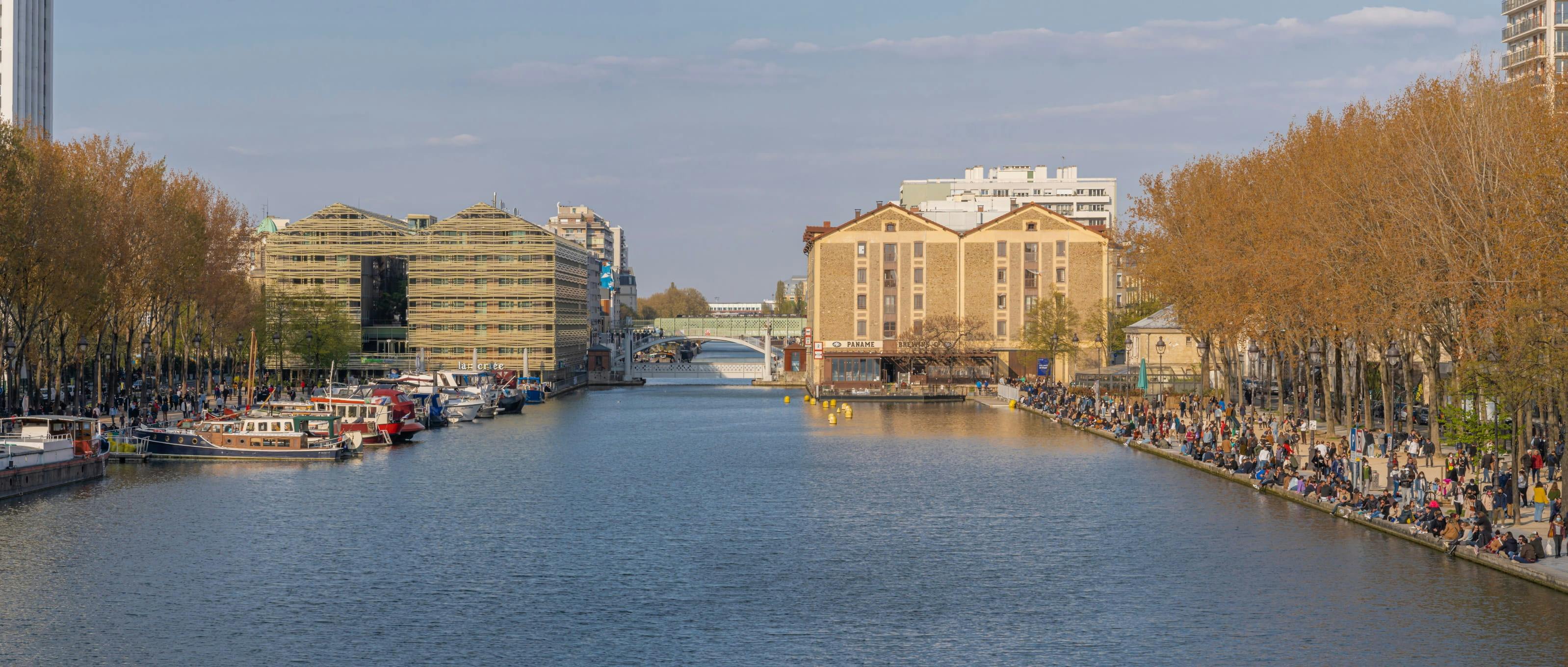
The Bassin de la Villette is the largest artificial lake in Paris: 800 meters long, 70 meters wide, and a seaside atmosphere in the heart of the 19th arrondissement. Dug at the end of the eighteenth century to serve as a reservoir for the Canal Saint-Martin and the Canal de l'Ourcq, it is now one of the most popular leisure areas for Parisians.
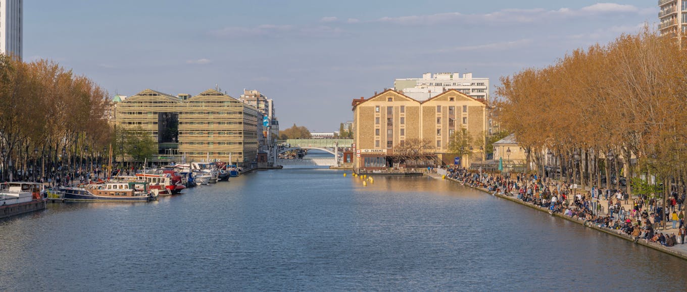
What we do at the Bassin de la Villette
The Bassin de la Villette is much more than a viewpoint. In summer, swimming, water games and free entertainment enliven the banks. All year round, the cafés and their terraces welcome locals and visitors passing through.
On either side of the basin, two cinemas face each other, connected by a boat shuttle, and offer a programme of arthouse cinema and films for the general public.
At the northern end of the basin, the Parc de la Villette and its 55 hectares open onto the Cité des Sciences et de l'Industrie, the Philharmonie de Paris and the Grande Halle de la Villette, one of the largest concert halls in Europe.
How to get to the Bassin de la Villette?
- Metro 7: Stalingrad station, direct access to the southern end of the basin
- Metro 5 and 7: Louis Blanc station + 5 min walk
- Metros 5, 7 and 2: Jaurès station to reach the junction with the Canal Saint-Martin
4. The Canal Saint-Denis, the nature itinerary off the beaten track
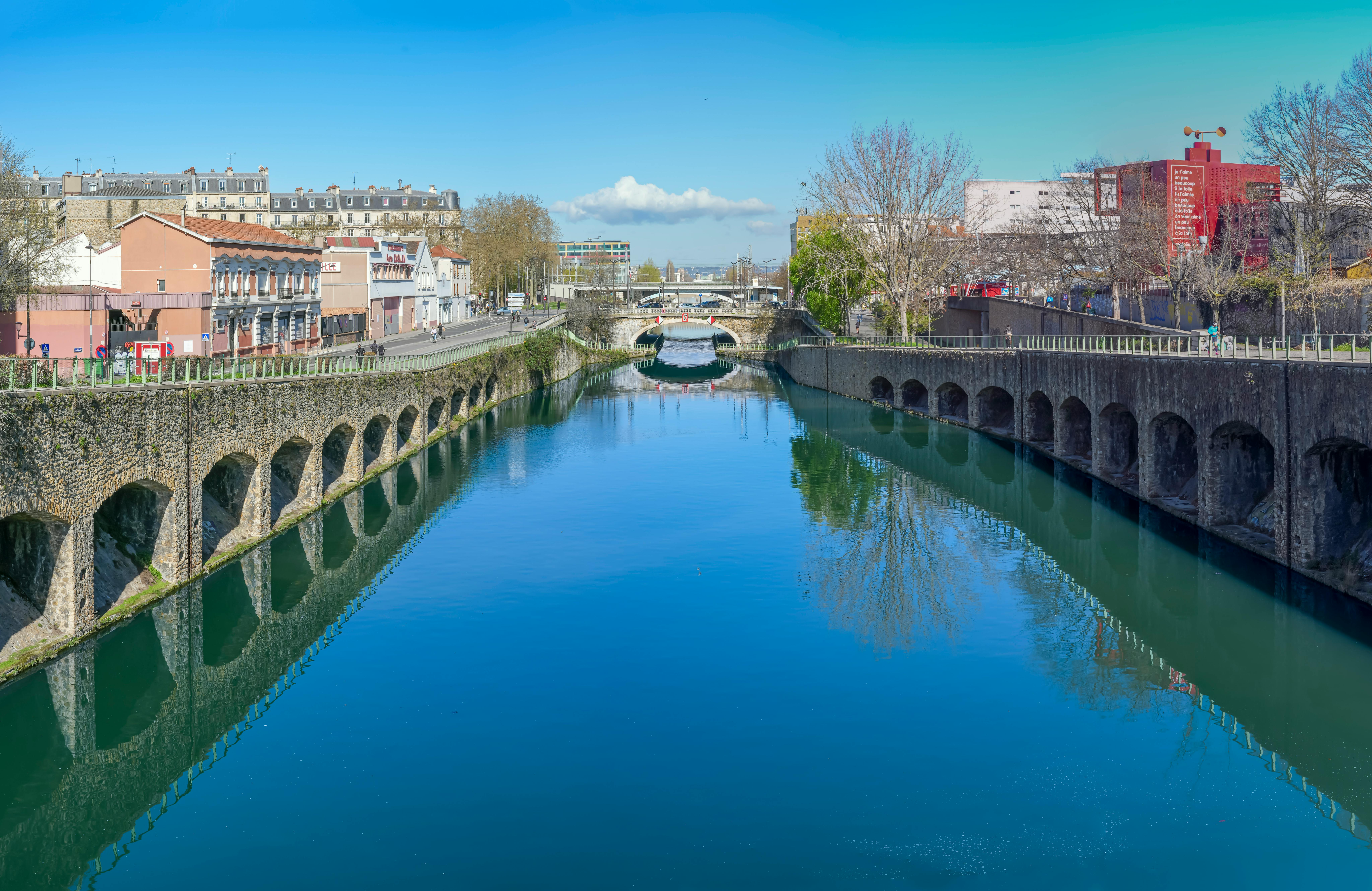
Less well known than the Canal Saint-Martin, less frequented than the Bassin de la Villette, the Canal Saint-Denis is the great forgotten nugget of the Parisian canal network.
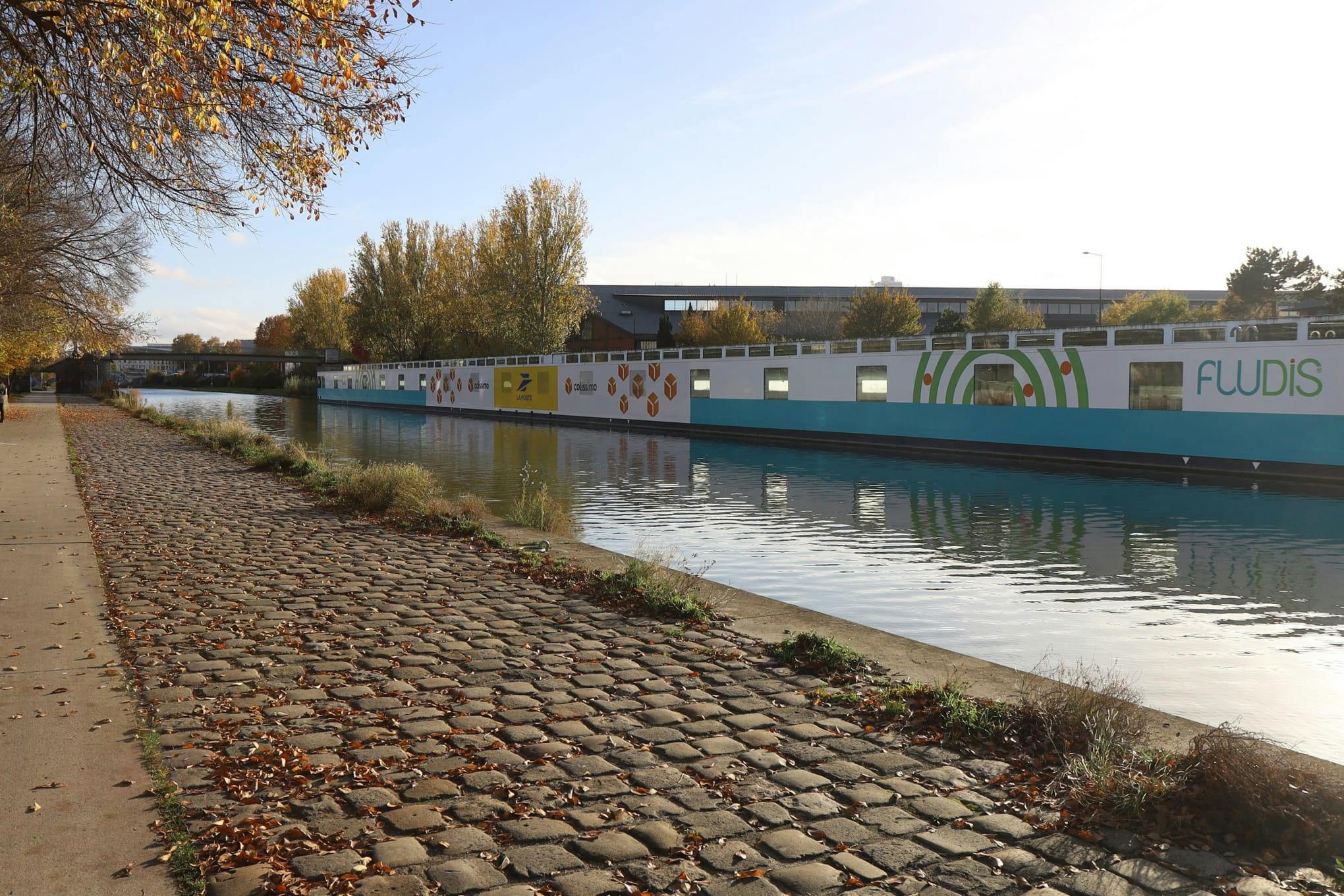
6.6 kilometers long, it connects the city of Saint-Denis (and its basilica, tomb of the kings of France) to La Villette, in Paris, crossing contrasting landscapes: reinvented industrial wastelands, allotments, century-old locks and large-scale street art (Street Art Avenue) on the walls of former factories.
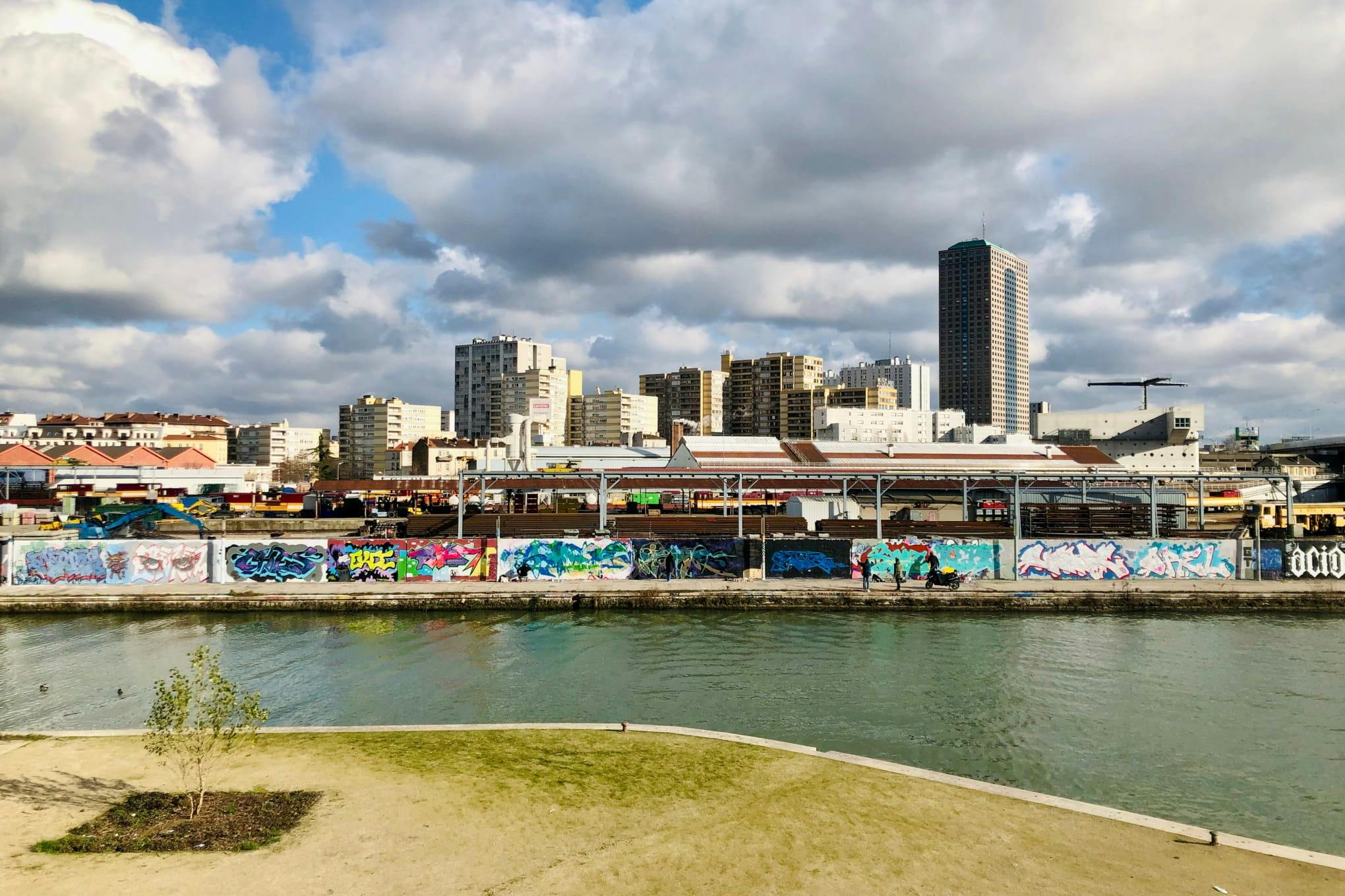
An itinerary to do by bike
The towpath along the Canal Saint-Denis is entirely passable by bike, with no difference in altitude and no traffic. It is possible to reach the canal from Paris by bike in less than 20 minutes, to follow its 6.6 kilometers to Saint-Denis, to visit the Basilica of Saint-Denis and to return by train (line H or D).
How to get to the Canal Saint-Denis
- Metro 12: Porte de la Chapelle station, access to the south entrance of the canal
- Metro 13: Saint-Denis Porte de Paris station, direct access to the canal and Street Art Avenue, at the foot of the Stade de France
- Train line H / RER D: Saint-Denis station is located on the edge of the canal, allow 10 minutes on foot to reach the beginning of the Street Art Avenue route
- RER B: La Plaine-Stade de France station, then a 15-minute walk to the banks of the canal
5. The Port de l'Arsenal, the quiet oasis between the Bastille and the Seine
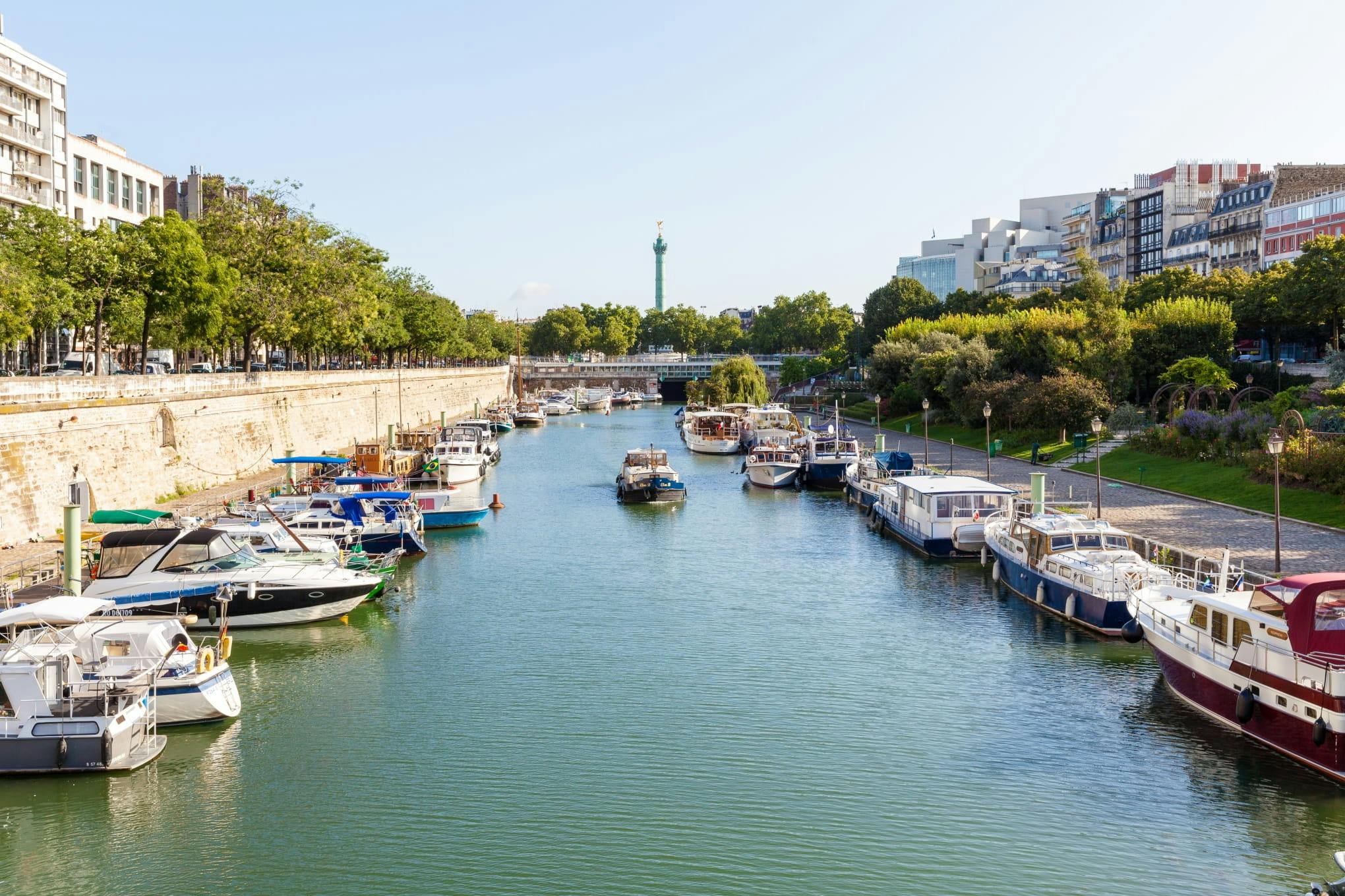
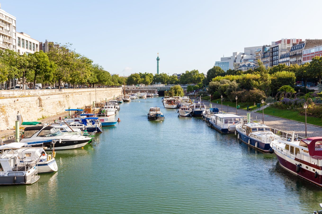
Below the Place de la Bastille, the Port de l'Arsenal is hidden. This small marina of 185 berths, nestled between the buildings of the 4th arrondissement and the banks of the Seine, is one of the most peaceful places in Paris, a stone's throw from an effervescent district.
A soothing stop between two neighbourhoods
The Square Henri-Galli, which overlooks the port from the banks, is one of the lesser-known gardens in the centre of Paris: some authentic fragments of the Bastille were gathered there after the demolition of the fortress in 1789. In good weather, it hosts games of mölkky and pétanque.
Running along the banks to the south, the port joins the banks of the Seine and the planted promenade that leads to the Bois de Vincennes. To the north, it marks the entrance to the tunnel under which the Canal Saint-Martin continues its underground route to the Republic.
How to get to the Port de l'Arsenal?
- Metros 1, 5 and 8 : Bastille station then 5 minutes walk down the Boulevard de la Bastille
- Metro 1: Sully-Morland station then 8 minutes walk along the banks of the Seine
Ready to explore the Île-de-France in a different way? The canals and rivers of the region hide dozens of routes along the water, from the forest of Fontainebleau or Rambouillet, to the banks of the Marne or the Oise.